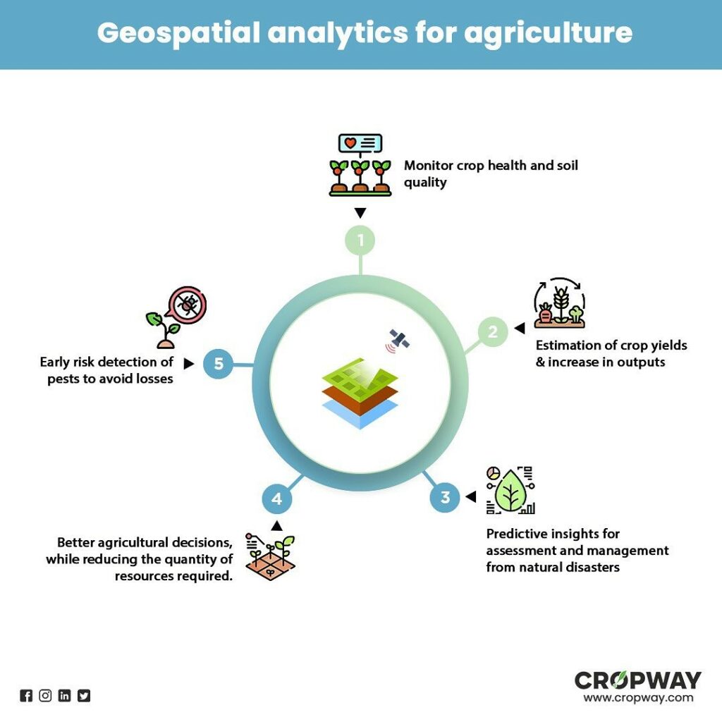
Geographic Information Systems (GIS) are computer-based systems that are used to collect, analyze, and manage spatial data. As a tool it can help farmers understand their fields better. It does this by creating detailed maps of the fields, showing exactly where each crop is growing and what the soil and other conditions are like. These maps can be used to see which parts of the field need more water, or which parts might have pests or diseases that need to be treated.
GIS can also help farmers see how things like the weather or market prices might affect their crops. For example, if there is going to be a lot of rain, GIS can help farmers plan how much water they need to give their crops. Or if the prices of certain crops are going up, GIS can help farmers decide which crops they should plant more of.
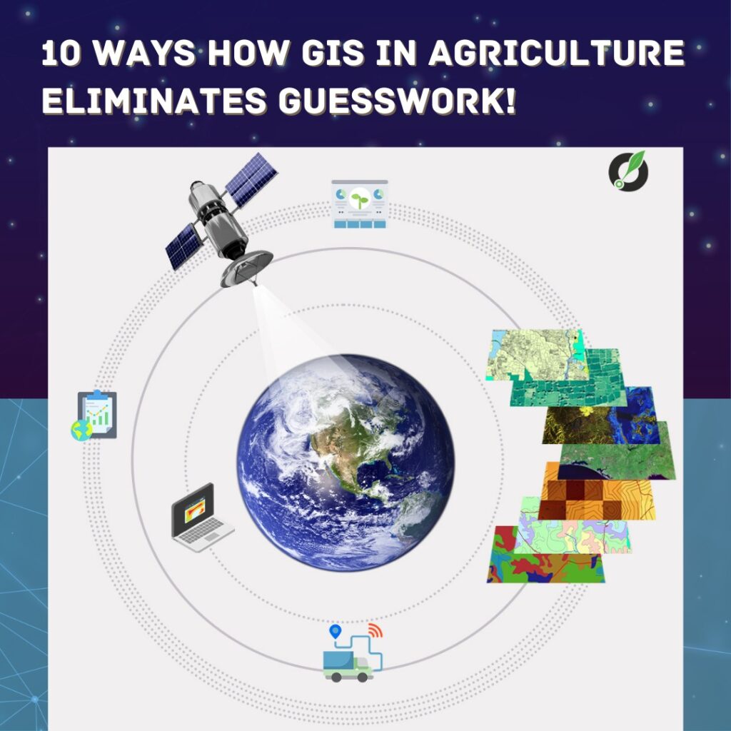
Here is a more detailed list of how in agriculture, GIS can be used to eliminate guesswork:-
Crop mapping: GIS can be used to create detailed maps of fields, showing the location and extent of different crops. This can help farmers make more informed decisions about irrigation, fertilization, and pest control, as they can see exactly which areas of the field need attention.
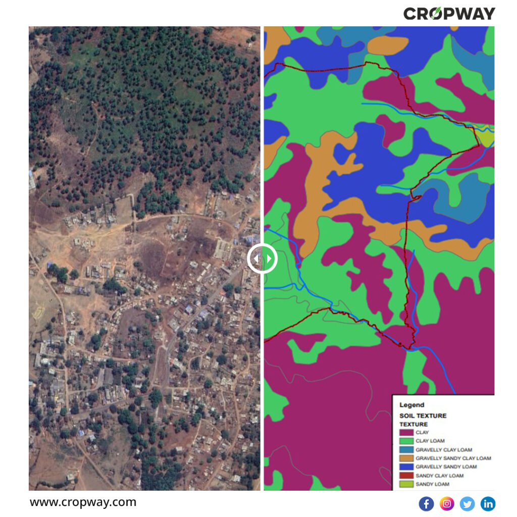
Soil analysis: GIS can be used to analyze soil data, including soil type, pH, and nutrient content. This can help farmers choose the right crops for their soil and apply the right amount of fertilizers and other inputs. For example, When growing crops, it is critical to understand the sort of soil you are working with, and gis as a tool is excellent for better managing soil deterioration and making recommendations on agricultural techniques. Given here is a glimpse of one such analysis conducted by our geospatial experts for soil texture!
Irrigation planning: GIS can be used to create irrigation plans that are tailored to the specific needs of each field. By analyzing data on soil moisture, weather patterns, and crop water requirements, GIS can help farmers optimize irrigation schedules and reduce water waste.
Pest and disease management: GIS can be used to track the spread of pests and diseases, and to identify the areas of the field that are most at risk. This can help farmers take preventative measures and apply treatments more effectively.
Yield prediction: GIS can be used to analyze data on crop yields, weather patterns, and other factors to predict future crop yields. This can help farmers make more informed decisions about planting, harvesting, and storage.
Market analysis: GIS can be used to analyze data on market prices, transportation costs, and other factors to help farmers make more informed decisions about where and when to sell their crops.
Land use planning: GIS can be used to create detailed maps of land use, showing the location and extent of different land uses, such as farming, forestry, and urban development. This can help farmers plan for the future and make more informed decisions about land use.
Climate change adaptation: GIS can be used to analyze data on weather patterns and climate change, and to identify the areas of the field that are most at risk from extreme weather events or changing growing conditions. This can help farmers adapt to climate change and protect their crops.
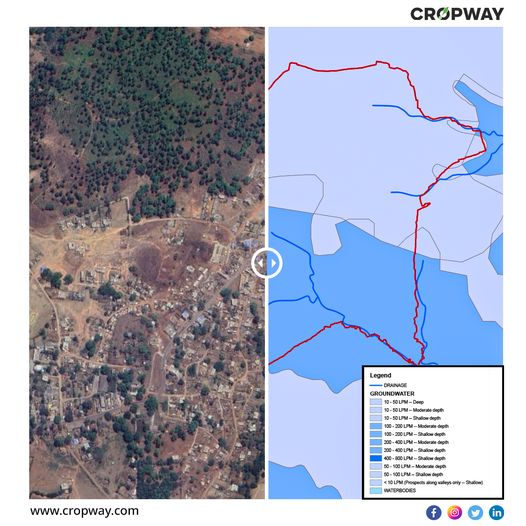
Resource management: GIS can be used to analyze data on natural resources, such as water, soil, and vegetation, and to identify areas where these resources are most at risk. This can help farmers manage their resources more sustainably and protect the environment. For example, Groundwater is a limited and essential resource, therefore long-term planning for its management is essential. Given here is a glimpse of one such analysis conducted by our geospatial experts for groundwater availability in a region!
Risk assessment: GIS can be used to analyze data on a variety of factors, such as weather patterns, crop yields, and market prices, to identify the areas of the field that are most at risk. This can help farmers make more informed decisions about risk management and contingency planning.
Future agricultural growth must be driven by innovative technologies that are both cost-effective and compatible with the nation’s natural climatic conditions; technologies relevant to rain-fed areas in particular; ongoing genetic advancements for better seeds and yields; data advancements for better research, better results, and sustainable planning; closing the knowledge-practice gap; and prudent land use resource surveys, efficient management, and prudent planning.
Those working in the farming business have found great value in the capabilities of GIS to evaluate and visualise agricultural settings and operations.Overall, it is a powerful tool that can help farmers eliminate guesswork and make more informed decisions about a wide range of issues in agriculture. Farmers may enhance land resource management by utilising GIS to analyse data and develop precise maps, allowing them to increase productivity while decreasing costs.Additionally, the threat of marginalisation and vulnerability for small and marginal farmers—who make up around 85% of farmers worldwide—is decreased.
How may the agricultural sector benefit from Cropway’s Geospatial Analytics?
Cropway offers specialist services and consultancy to help you create a lucrative but sustainable agriculture business using the power of GIS. For a new farm plot or an existing farm terrain, our GIS platform can assist you in planning end-to-end smart solutions and making suggestions for sustainable practices that may be used.We can assist you with geographic terrain mapping, data collection about present and projected temperature levels, crop yield, precipitation levels, and much more, enabling you to considerably increase agricultural productivity.
Reach out to us today about precision mapping & geospatial technology and our experts will identify how to apply it to meet your unique business needs.
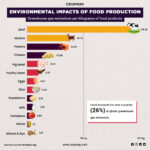
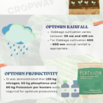
You might also want to read our article on the Geospatial technology(GIS) for enabling productive agriculture! Know how? & Optimised Productivity with Geospatial Technology(GIS)