Project Overview
In response to the imperative need for an efficient means of identifying 1200 acres of land with a 132 kVA substation within a 5-kilometer radius for potential mining expansion, a prominent industrial conglomerate in central India sought a solution. The challenging terrain, characterized by steep inclines and adverse weather conditions, posed significant obstacles to cost-effective mapping through conventional, on-foot methods, which would have required months to complete and proved impractical.
Project Solution:
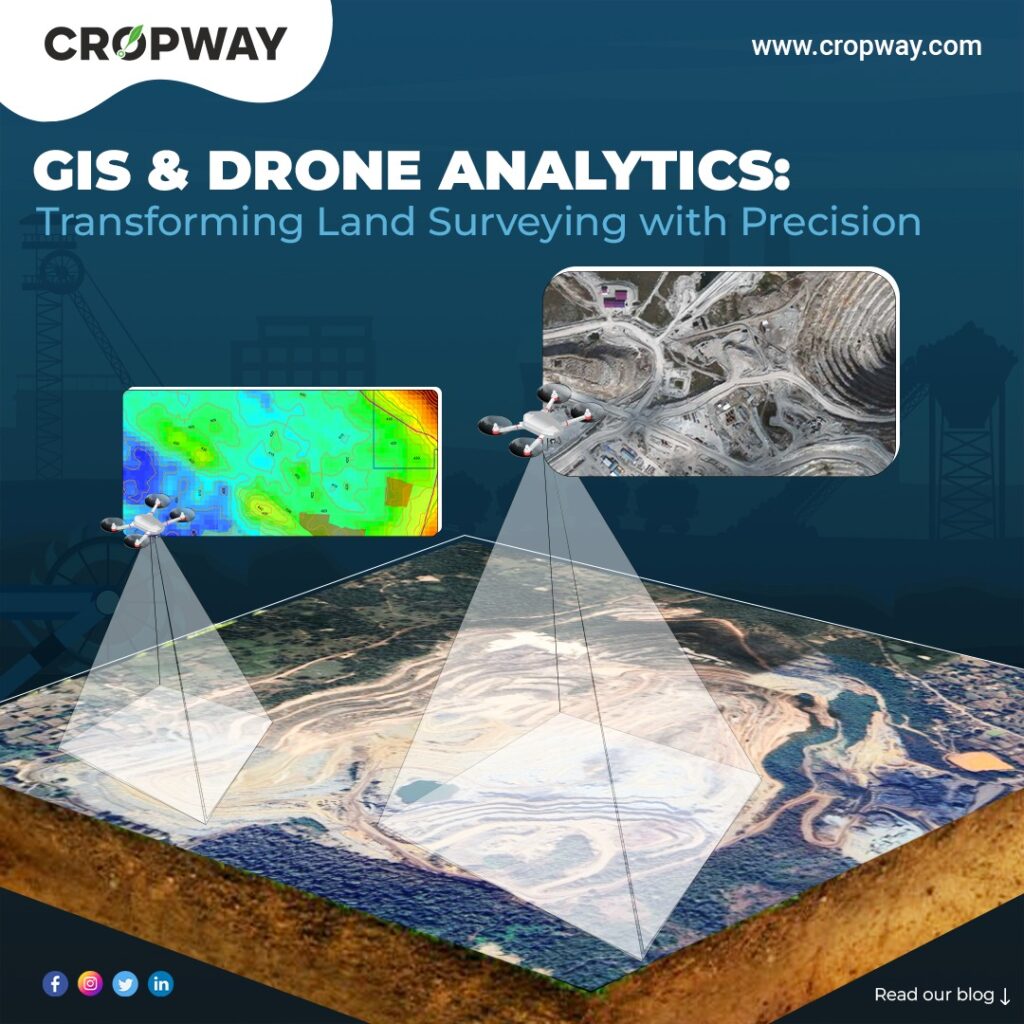
Cropway recognized the need for a transformative approach, and the implementation of GIS & drone technology emerged as a game-changer in mining exploration.
Drones conduct swift aerial surveys to promptly and precisely evaluate mining sites. While, GIS plays a complementary role by integrating diverse datasets, facilitating spatial analysis, and ensuring adherence to regulatory standards, The collaborative integration of GIS and drones in the mining industry streamlined their operational processes, enhanced efficiency, and fostered informed decision-making. Drones expedite mapping, delivering clear, precise topographic maps for even the most rugged landscapes, facilitating precise excavation planning, and marking a significant advancement in operational capabilities.
What Is Meant by Drone Imagery Analytics & Drone Survey?
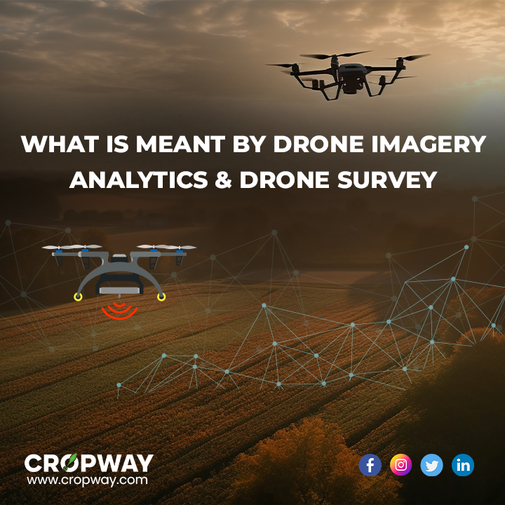
Unmanned aerial vehicles (UAVs), commonly known as drones, play a crucial role in capturing aerial imagery data by utilizing attached sensors like RGB, GNSS, LIDAR, thermal, or multispectral. During the aerial imagery survey process, the ground is photographed from various angles, and these images are meticulously tagged with their corresponding coordinates. Subsequently, these images are seamlessly stitched together and subjected to photogrammetry software to obtain the desired output for drone imagery analytics.
A single drone flight generates a substantial amount of data points, which can be represented in diverse formats, enhancing the comprehension of geographical data. Formats such as orthomosaic, contour lines, DEM, point cloud, and others contribute to a comprehensive understanding of the surveyed area. Notably, the aerial imagery that is produced by drones exhibits a remarkable level of detail, surpassing the quality of traditional maps. This heightened detail makes it markedly easier to extract features such as water bodies, roads, signs, drainages, and other elements crucial for accurate analysis and decision-making.
The adoption of GIS & drone imagery analytics technology enterprise-wide produced outputs in the following specific areas:
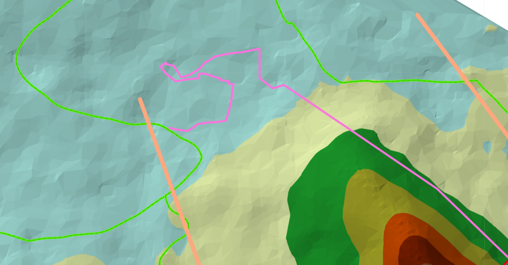
1. Orthomosaic Maps
To usher mining operations, the overlapping of orthophotos was done to create high-resolution orthomosaic maps. These outputs provided a true-to-life representation of the mining site and expanse of the areas, allowing for detailed examination and aerial imagery analysis at the resolution captured by the drones. Software tools further enhanced the planning and management of mine sites by enabling the measurement and analysis of specific sub-areas.
2. Point Cloud Outputs and Comprehensive Elevation Models
Point cloud outputs, were generated using spatial data to provide invaluable for volumetric assessments, particularly in capturing both horizontal and vertical spatial information. Along with Digital elevation models (DEMs), building upon digital surface models, delved into intricate details such as earth elevation, vegetation, and equipment, offering a comprehensive representation of the topographical details. This was crucial for tracking water and sediment flow efficiently.
3. Contour Mapping Outputs
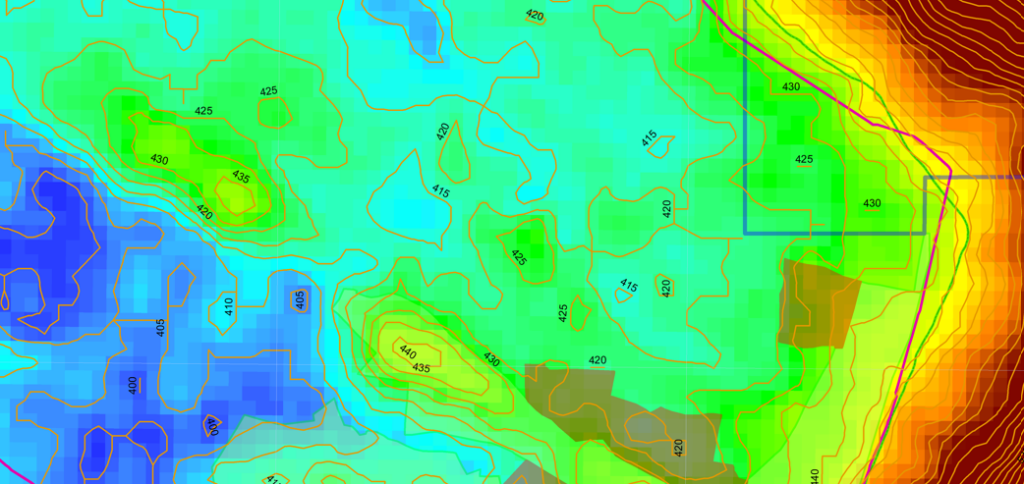
Contour outputs were mapped to offer a nuanced perspective on topographical, detailing changes in slopes. When paired with orthomosaics, these outputs offered a more analytical assessment of drone imagery analytics, serving as powerful tools in their own right.
4. Hydrological Analysis through GIS
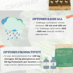
Geographic Information Systems (GIS) played a pivotal role in hydrological analysis, utilizing spatial data to calculate runoff discharges from surface water based on daily rainfall data. GIS-based watershed modeling system was developed to support the management of water resources. This approach allowed for a precise understanding of catchment area influence, aiding in the accurate determination of runoff water discharge.
5. Land Use Land Cover Map & Power Requirements
Geographical Information System (GIS) and remote sensing techniques also provided a comprehensive method to assess the current land use and land cover mapping of the area, i.e., agricultural, urbanisation, revenue land, forests, and other areas. While demarcating different boundaries of cities, states, villages, etc. around the mining land. Cropway experts used GIS to facilitate the integration of database information related to the power distribution of the substation in accordance with the power utility requirements. This integration enables the simultaneous evaluation of technical, financial, and environmental considerations.
Conclusion:
The implementation of these innovative technologies enabled the decision-makers of the company to analyze waste volumes, monitor progress across sites, and strategically plan future operations. The hydrological information derived from GIS was instrumental in decision-making and policy formulation for monitoring hydrological conditions around the open mines. The utilization of GIS & drone-enabled aerial imagery surveys offered a heightened ability to manage mining sites effectively, mitigating setbacks and hazards associated with shortages of water and other environmental influences.
In contrast to classical methods such as GPS and total stations, which took months for data capture and fieldwork, the Cropway team estimated that their aerial imagery survey, through the adoption of drone technology, significantly expedited the delivery of the final product.